The 6th Bomb Group
Tinian Island - Beaches and Shoreline
Credits
Thanks to Raymond J. Biedenbach Collection; Gary Matcek, son of Sgt Jody Matcek. |
|---|
Life is a Beach
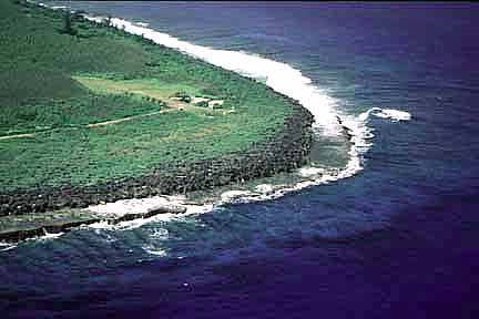
Like many of the Pacific Islands, Tinian is almost entirely surrounded by a coral reef. And most of the shoreline is also coral. There are several "pocket beaches" and one long sandy beach along the eastern shore. The eastern beach was inconvenient for people based on the west side of the island. Instead the would brave the coral areas- which also had some interesting caves to explore. |
|---|
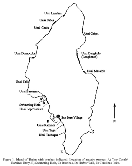
Beach Map
This map shows the location of the major beaches. Unai Chulu on the northwest coast was the invasion beach. The "swimming hole" on the southwest coast was used for recreation. Unai Dangkolo (Longbeach) is presumably the East Beach which was also used for recreation. |
|---|
|
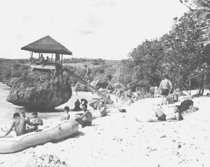
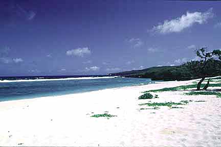
Tinian East Beach
This is the longest beach on Tinian, along the eastern shore, but was less convenient for many of the flight crews. |
|---|
|
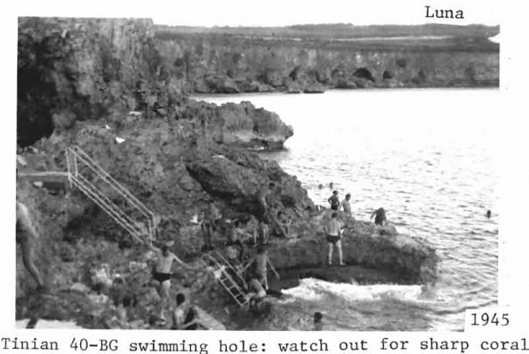
Coral Beach on Western Shore
The "Swimming Hole" on the west shore. Because this was more convenient to many of the flight crews, they braved the coral for a dip in the ocean. |
|---|
|
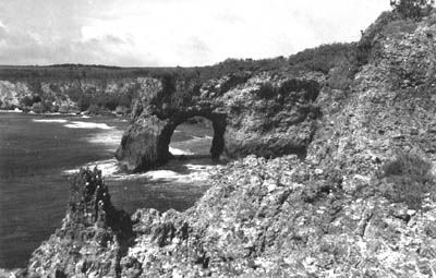
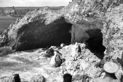
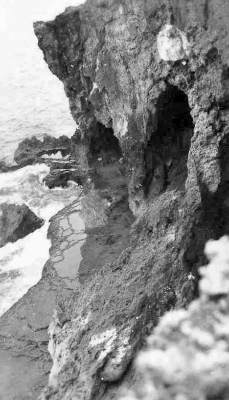
Caves Along the Beach
For recreation, the men explored the many caves along the shoreline. |
||
|---|---|---|
|
||
|
Ushi Point
Ushi Point at the northern tip of Tinian is elevated with a "shelf". Not much good for swimming or invading. |
|---|
|
Invasion Beach White
Unai Chulu along the northwest coast was about the only good place to launch an amphibious assault in that part of the island. |
|---|
|