Credits: Gary Matcek, son of Jody Matcek (sergeant with 6th BG) |
|---|
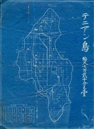
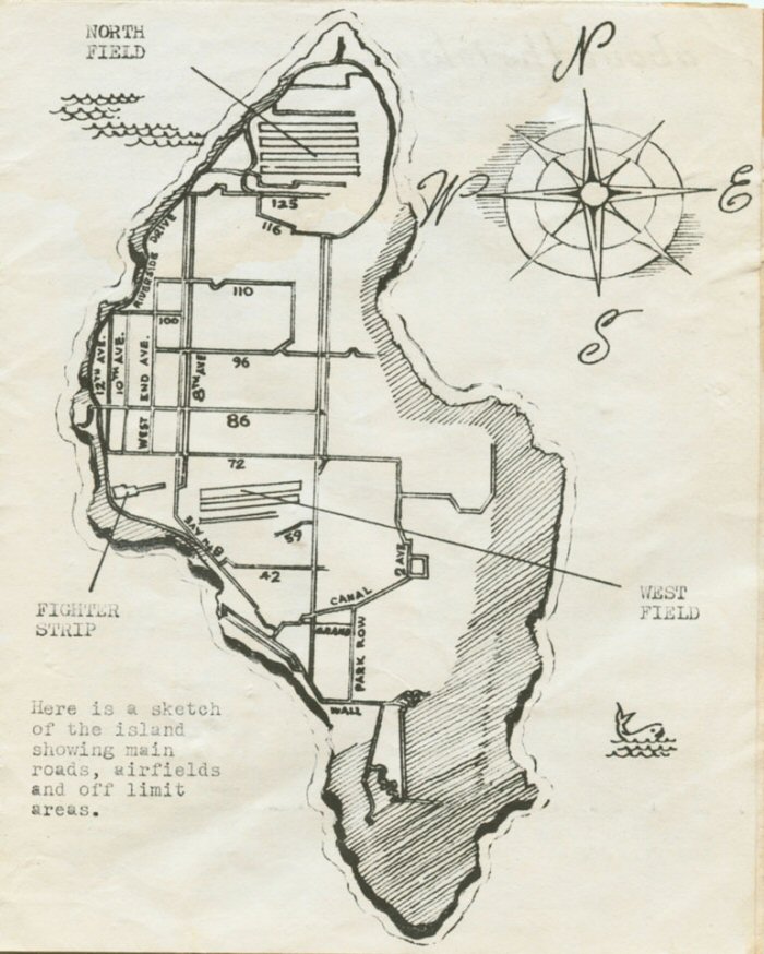
Here are a couple of roadmaps for Tinian island. The map to the right is a pre-invasion Japanese map that shows many of the roads that the Army later "adopted" and enlarged. Below is a map from the "Hellbirds Manual". Although not marked, Broadway is the main north south road. Most of the other roads were given names similar to those of Manhattan, New York. (Despite the coincidence, this had nothing to do with the "Manhattan Project", which produced the atomic bomb.) The road along the west side of Tinian is Riverside Drive. The 6th BG living quarters were around 110th and Riverside Drive. |
|
|---|---|
|
|
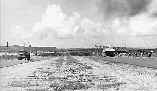
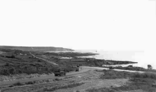
Broadway was the main road on Tinian, a divided highway running up the center of the island. Mt. Lasso is off in the distance to the left. |
|---|
|
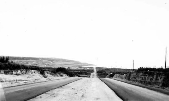
Here is a view of Broadway, facing south towards the harbor. |
|
|---|---|
|
Even the side roads were busy with construction traffic. Here a jeep wisely pulls off to the side of the road to avoid a heavy dump truck. |
|---|
|